One of the surprising effects of travel frequently has been the way it has made us appreciate what we have on our own doorstep. What we previously thought of as mundane is far from it, as well as the natural beauty you only have to scratch the surface to reveal a rich and varied history.
So, as we are not travelling at the moment we have decided to explore the area closer to home but this time, we are doing it in a little more detail and rediscovering some interesting stories in the process.
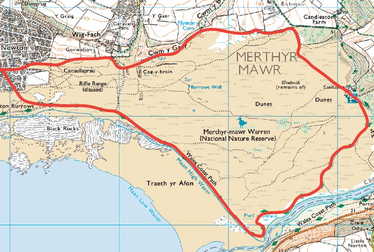
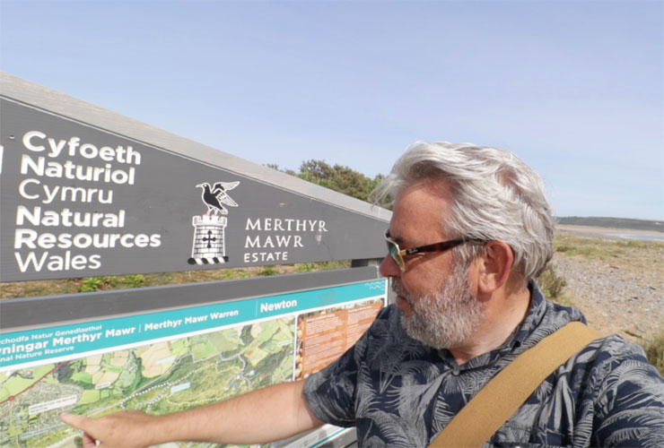
For this trip, we are walking the Newton to Candleston circular walk across Merthyr Mawr Nature Reserve which lies on the South Wales Coast near Porthcawl. It’s approximately a 6-mile walk that takes us back in time from the present day to the iron age. On the way, we also encounter a range of sites from World War II to the days of crusading medieval knights.
The Start – Newton Village, Porthcawl
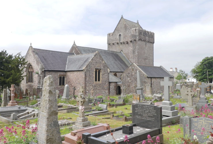
We start our walk at Newton Church in the village of Newton, Porthcawl. Long before the South Wales town of Porthcawl was established as a coal port, there were the neighbouring medieval villages of Newton and Nottage Both of which have now been enveloped by Porthcawl.
Newton Church, the official name St John the Baptist Church was founded in the 12th century. The church’s west tower is quite substantial, it originally had a flat roof and was probably used as a lookout and a defensive tower. On the south-east edge of the village green you can find St John’s Well also know as Sandford’s well. It’s named after Thomas De Sandford, a Knight of the Order of St John of Jerusalem who probably founded the church.
Newton Burrows Rifle Range
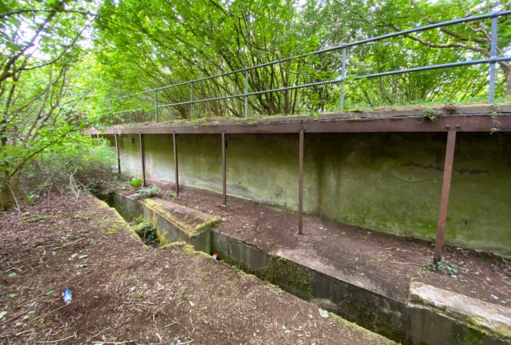
As you look east over Newton Burrows with its grasses and bushes it hard to imagine that this area used to be Wig Fach Rifle range but if you look more closely there are a few signs of its military past.
You can still see some of the rifle mounds stretching across the area but many are now covered with undergrowth. At the far end just below the steep hill and the path to Tythegston, you can still find the butts and control bunker hidden amongst the trees.
During the later stages of World War II the range was used by American troops from the 28th Infantry Division who were based in and around Porthcawl. General Dwight D Eisenhower inspected the troops at the range on 1st April 1944 before they headed off to Normandy.
Wig Fach To Candleston
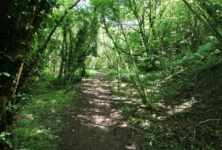
From the relative flat of Newton Burrows, the path takes you through some pretty woodland as you pass Wig Fach. It then starts to get steep as you ascend the limestone ridge towards Tythegston and Candleston Farm. Flints from the Stone Age, burial mounds, Bronze Age pottery and Roman remains have all been found in the surrounding farmland. This area is the highest part of the circular walk.
Merthyr Mawr Dunes
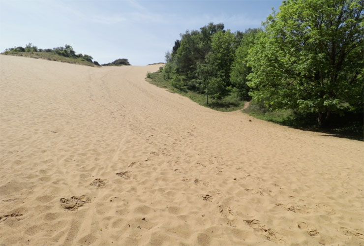
From the highest point, the path heads down towards Merthyr Mawr Sand Dunes and Candleston Castle. During periods of heavy rain, the sandy track can actually turn into a stream.
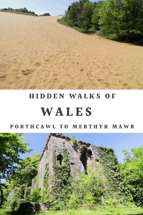
Merthyr Mawr Dunes is a Site of Special Scientific Interest and are some of the highest in Europe. The largest dune, known as The Big Dipper is around 200 feet high.
The dunes were surprisingly used as a location for some of the desert scenes in David Lean’s 1962 classic film Lawrence of Arabia.
Candleston Castle
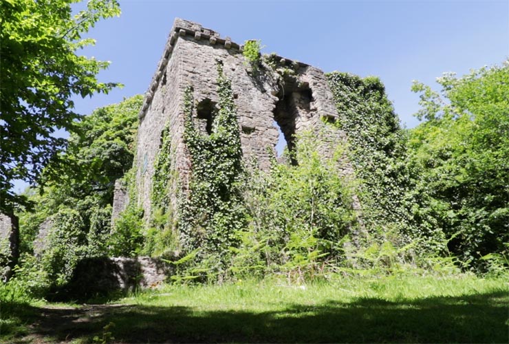
Adjacent to the car park you’ll find the ruins of Candleston Castle. Although it’s called a castle, Candleston is actually a 14th-century fortified manor house. If you want to extend the walk it is worth walking along the road to the pretty village of Merthyr Mawr with its thatched cottages.
From Candleston Castle continue the path to the far left of the car park. This runs alongside the stream to where it meets the River Ogmore.
The River Ogmore

It’s not a long walk along the river to the mouth of Ogmore. This estuary part of the river is tidal and the surrounding salt marshes do flood during high tides. When this happens you just have to follow the side of the dunes around a couple of the large meanders.
Newton Beach And Wales Coast Path
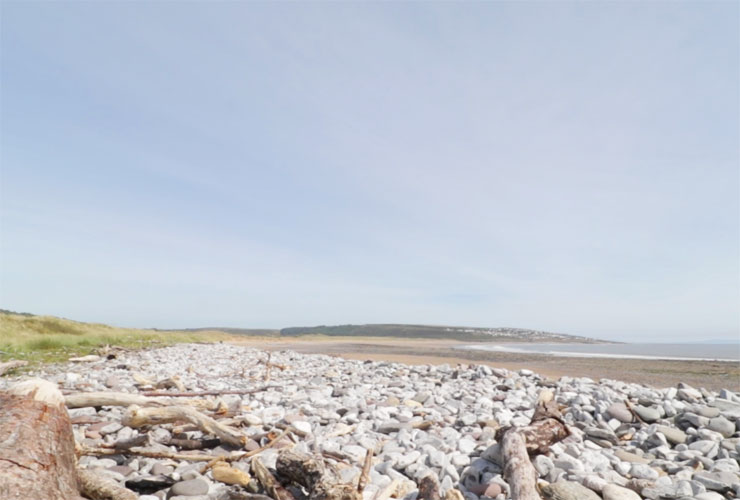
Finally, you emerge onto the long sandy beach which stretches from Ogmore by Sea and the river mouth all the way back to Newton. This part of the walk along the beach is part of the Wales Coastal Path.
As you walk back along the beach if you look carefully, you should be able to see the tower of Newton church.
From Newton Beach its only a few hundred yards back to Newton church which completes the circular walk. Even in the height of summer you will only bump into a handful of people on the route.